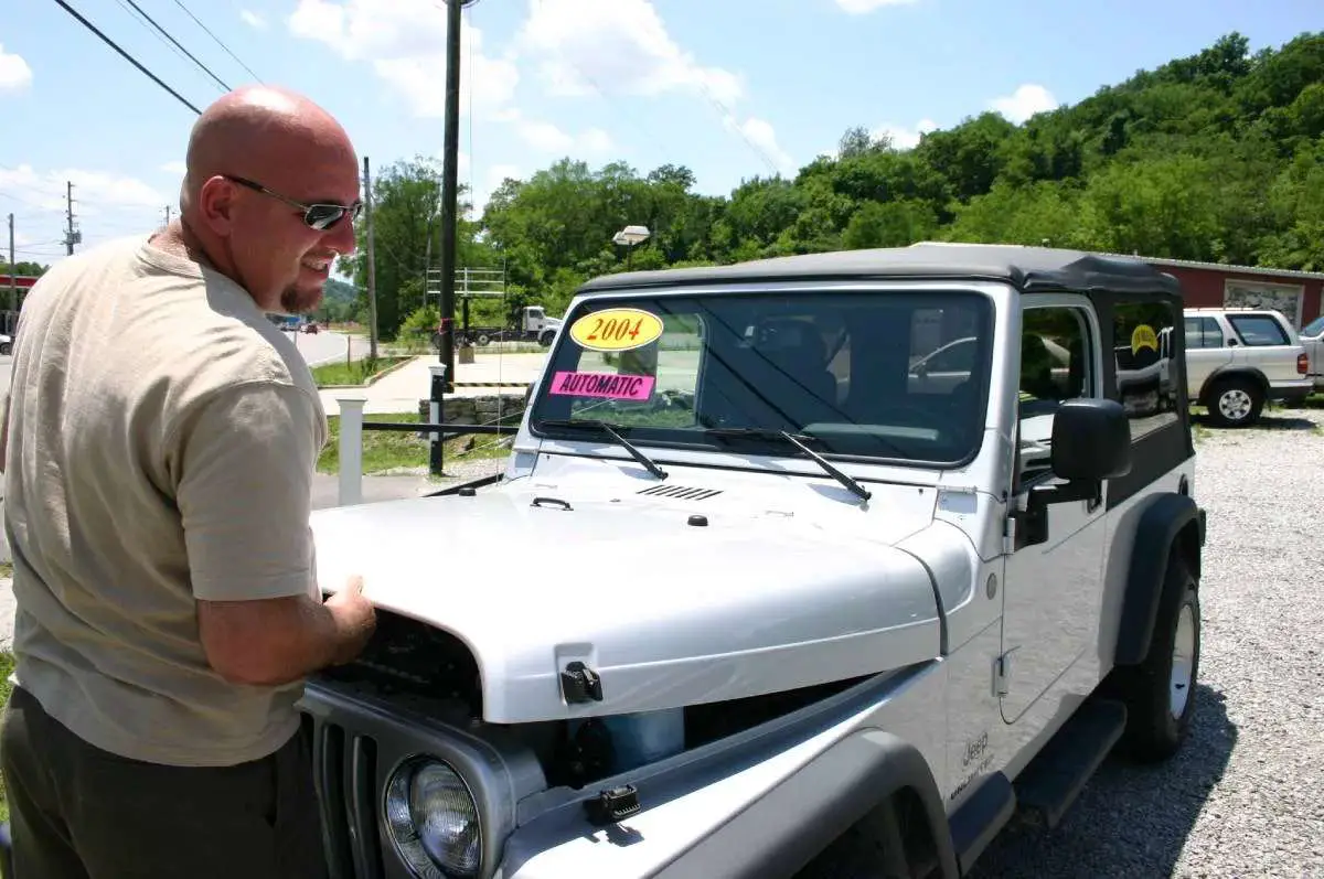
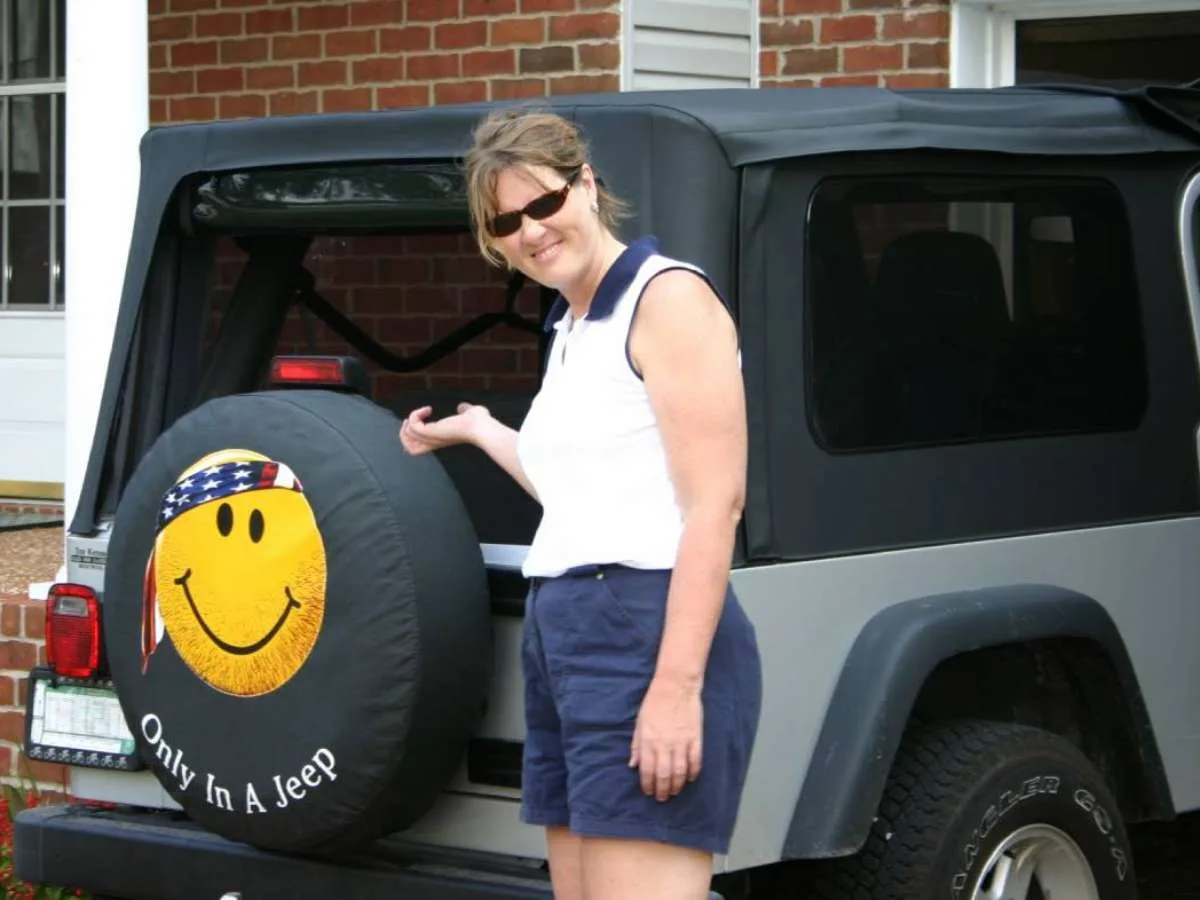
Jim and I have owned 3 different Jeep Wranglers since 2004. Before that, we rented Jeep Wranglers and took them offroad during our vacations.
For the most part our Jeeps have been daily drivers rather than offroad warriors, but we still enjoy taking them offroad once in awhile.
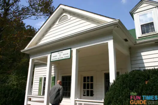
 of the forest... with our Jeep in the background. photo by Lynnette at TheFunTimesGuide.com")
While we’ve enjoyed popular offroad parks from time to time — like Tellico ORV Park — we actually prefer taking the road less traveled when we’re offroad (using Forest Road Maps as our guide) instead.
Here’s why:
- Fewer people, crowds, noise, cars
- A greater sense of adventure while exploring parts unknown
- Finding a fork in the road and choosing our own course
- The challenge of making your way back to civilization
If you, too, think you would like the adventure associated with exploring little-known roads and trails, here’s what you need to know about Forest Service Roads and Forest Service Maps.
What Are Forest Service Roads Like?
Forest Service Roads range in type from permanent, double-lane, paved highways to single-lane, low-standard roads intended only for use by high-clearance vehicles — like pickup trucks and Jeeps.
The estimated 380,000 miles of classified Forest Service roads on National Forest System lands are extensive and diverse. Most of the existing road system was built over the last 50 years for timber harvest and log removal. In the decades after World War II, logging traffic tripled, peaking in 1990. But when timber harvests on the national forests declined in the 1990’s, logging traffic fell to 1950 levels. By contrast, recreation forest road use has grown to 10 times its 1950 rate. Driving for pleasure is the single largest recreational use of Forest Service managed lands with more than 1.7 million vehicles using those roads each day to visit national forests.
~ National Forest Service

Forest Highways (also known as Forest Routes) are built to connect the national forests to the existing state highway systems, and to provide improved access to recreational and logging areas.
Anyone who spends more than about 30 hours a year exploring forest service roads knows the heartbreak that comes with riding down a road that eventually becomes impassable. Washouts, downed trees and other obstacles have a way of forcing one into doing a re-route on the fly. Good maps and a GPS are handy tools to have when this occurs.
~ Sound Rider
Forest Service Roads are very seldom traveled by everyday drivers. Instead, they’re used mostly by Forest Rangers and state workers.
There is no charge to ride on Forest Service Roads.
Just remember, these roads are off the beaten path, so the road conditions are usually a gamble.

For example, if it rained recently, you will find lots of mud and large pools of water. If the area hasn’t seen rain in awhile, you can bet the ride will be incredibly dusty the entire way — especially if you happen to pass another vehicle!
These days, if we’re out offroading in the Jeep, you can bet we’re probably using this Forest Service Map to explore the areas around Land Between The Lakes.
Forest Service Roads make great off-road trails for those wishing to enjoy some fairly tame offroading without the crowds. Just remember, there are few (if any) amenities in these backcountry areas, so make sure you’ve got a full tank of gas, plenty of water to last the entire day, a cell phone, and some extra supplies — just in case.
Must read: Winter Driving Tips For Forest Roads
What Are Forest Road Maps Like?
Forest Road Maps are also referred to as MVUM maps (Motor Vehicle Use Maps).

A Motor Vehicle Use Map is a legal tool for the USDA Forest Service to comply with and enforce the USDA’s Travel Rule. While widely regarded as specific to off-highway vehicles, it actually covers all public motorized use on all Forest Service roads and trails. The map itself is black and white, with little reference information, can be a variety of different dimensions, with different folding patterns, and is available in both hardcopy format at visitor centers and in digital (pdf) format on forest websites.
~ Source
National Forest System routes (including both roads and trails) are clearly indicated on Motor Vehicle Use Maps.
The maps identify which vehicles can traverse each route — such as highway-legal vehicles, vehicles less than 50 inches wide, and motorcycles — including seasonal restrictions.
Recreational motor vehicles, as indicated on Forest Service Maps, include:
- Off-highway vehicles (OHVs)
- All-terrain vehicles (ATVs)
- Off-highway motorcycles (OHMs)
- Off-road vehicles (ORVs) — including 4×4 trucks, SUVs, and Jeeps
Here are some things that are good to know about Forest Road Maps:
- Routes not shown on the MVUM are not open to public motor vehicle travel.
- It is the public’s responsibility to refer to the correct MVUM and stay on designated routes for motor vehicle use.
- Routes designated for motorized use may not always have signs on the ground, but will be identified on the MVUM.
- MVUMs are updated annually, in January, to correct mapping errors or discrepancies and update travel decisions.
- MVUMs are provided by Ranger District Offices and at the Forest Supervisor’s Office in the form of black & white maps. You can also print them out online — just search for the nearest forest + MVUM.
- NEW in 2012: Free Motor Vehicle Travel Maps (MVTMs) are sometimes provided instead of Motor Vehicle Use Maps (MVUMs). MVTMs contain all the information shown on MVUMs, plus additional data that makes them more user-friendly.
How To Get Forest Road Maps
- Find U.S. Forest Service offices near you — get a FREE black & white map on the spot.
- Find Motor Vehicle Use Maps online — by state.
- Find other U.S. Forest Service maps — including Forest Visitor Maps, Topo Maps, and other Specialty Maps.